The itinerary includes maps, driving directions, and main points presented about nearly 50 points of interests covered in two interwoven tours of central and southern Sacramento. Download it here.
Visual Aids: During the “Lost Sacramentos” portion of the tour, the following maps, photographs, and other depictions may help illuminate and confirm the claims made about features that are generally no longer discernible.
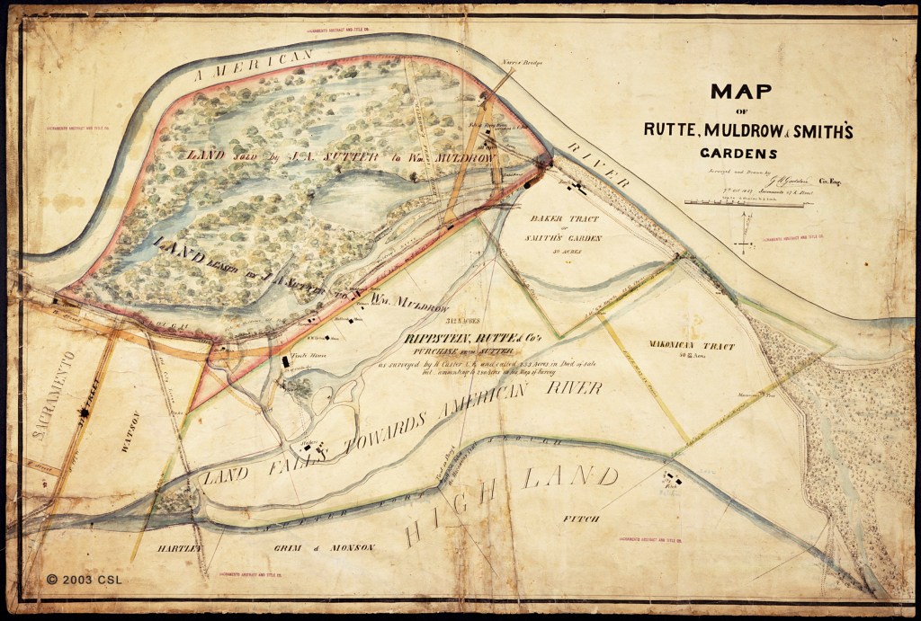
Map of Rutte, Muldrow & Smith’s Gardens (1857) – courtesy California State Library. Burns Slough, at bottom, roughly follows modern McKinley Boulevard.
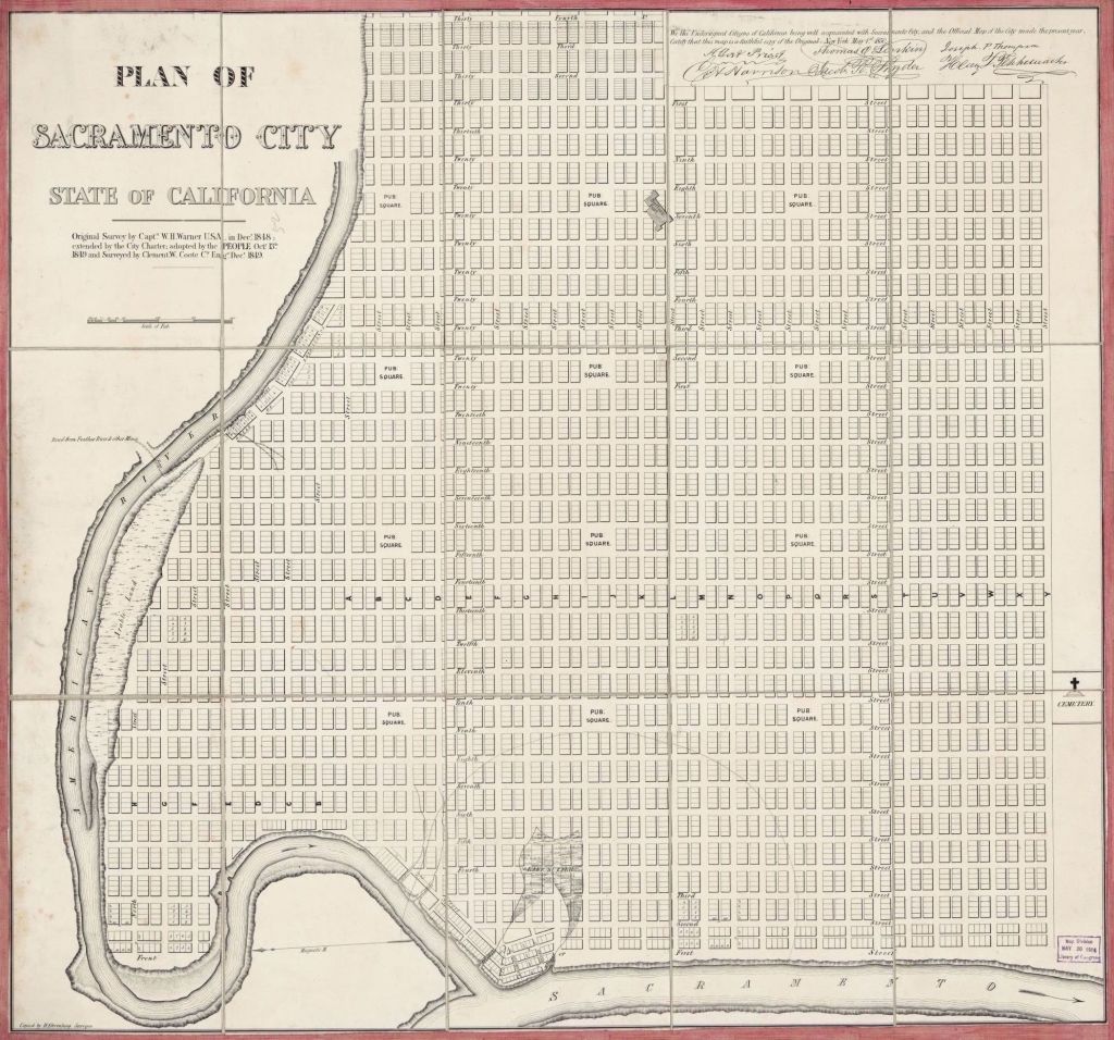
Plan of Sacramento City, partial (1848) – courtesy Library of Congress. The waterfronts at Slater’s Addition and El Calle de los Americanos are visible at left.
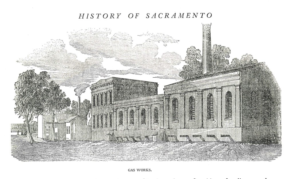
“Gas Works” (1855) – from Barber & Baker, Sacramento Illustrated. This massive structure stood on old first street, accompanied by a string of other waterfront buildings built on lots 1-5 of Slater’s Addition.
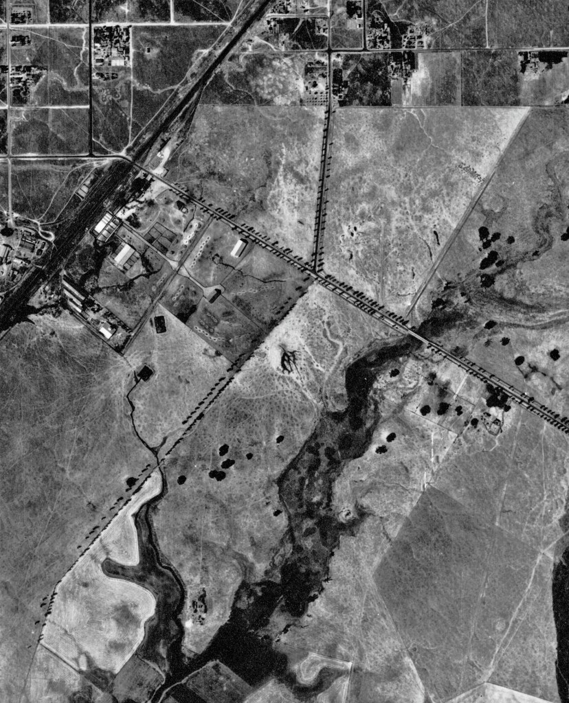
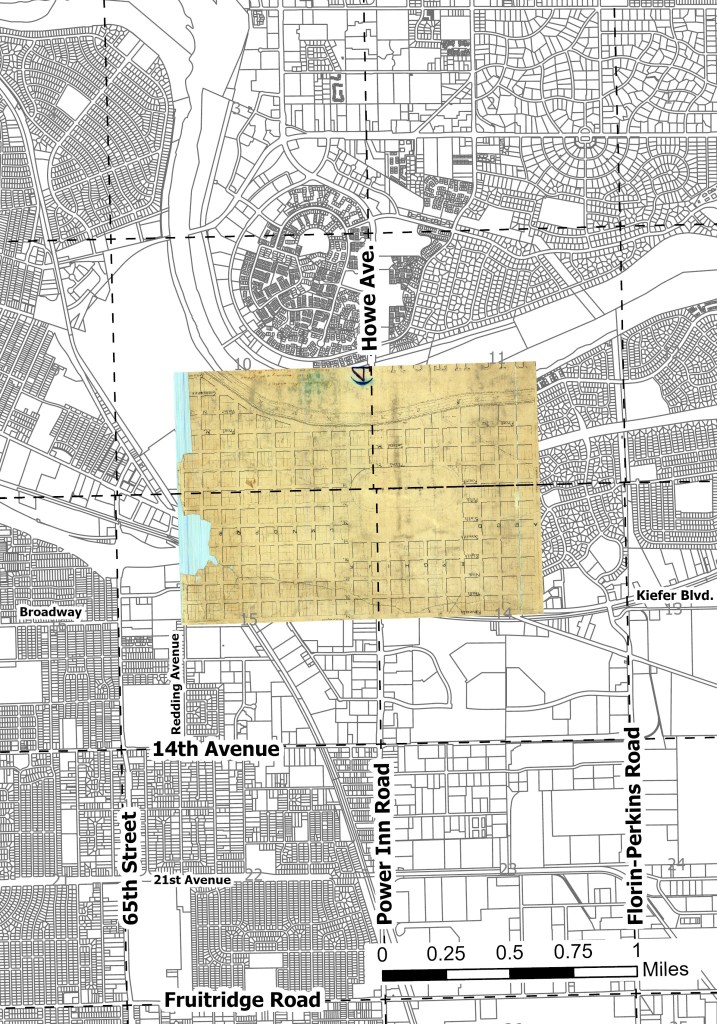
Airphoto abc-1937_48_32, partial (1937) – courtesy UC Santa Barbara. Note the lower left portion of the paired windbreaks matches the others but lacks a road. Central Pacific tracks are visible at upper left.
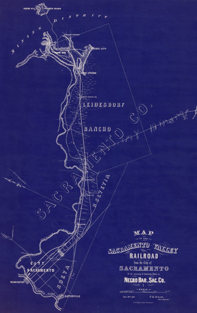
Sacramento Valley Railroad (1854) Shows potential branch lines including one running parallel to the Sutterville-Brighton Road, at bottom.
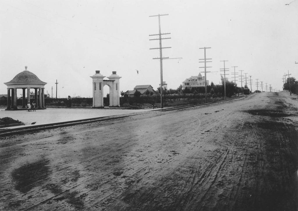
Upper Stockton Road (1911) – courtesy Sacramento Public Library. This view to the south shows the Roemer house in the background.
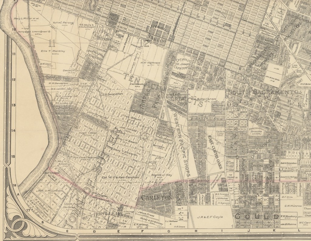
Map of Sacramento City, by Phinney, Cate & Marshall, partial (1913). The road now called Franklin Blvd runs southward from near the southern corner of the Sacramento City grid. The Sutterville grid is beginning to disappear under suburban development of land recently annexed.
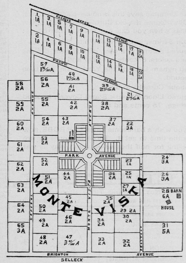
Monte Vista (1888) This map accompanied ads selling land in a railroad suburb that offered quick urban access as well as running water. Brighton Avenue, at bottom, is now known as Broadway.
Brighton Located (georeferenced map from 1850). This recorded map shows a town that once hugged the river and now fits tidily into the modern parcel boundary framework.
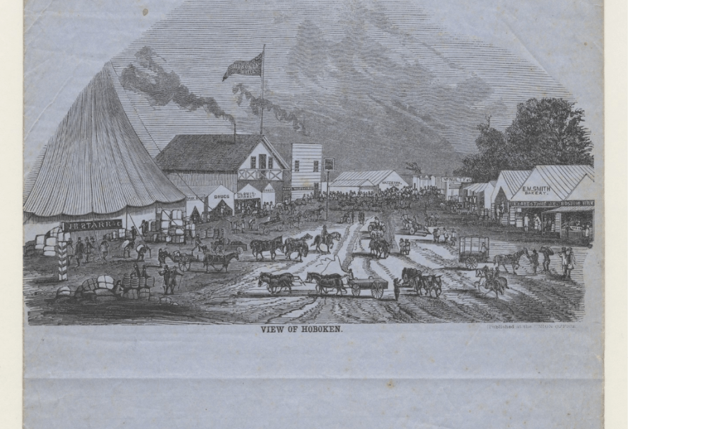
View of Hoboken (1853) This supposedly ephemeral encampment features a row of permanent structures, including wood frame and possibly brickworks in the background. View is from near the Well, looking towards Hornet Bookstore.